
Tactical Products & Systems
Engineering products, proprietary software, and satellite navigation sensor network built for reliable operation in electronic warfare (EW) and cyber threat environments.
Interference Monitoring & Time Sync
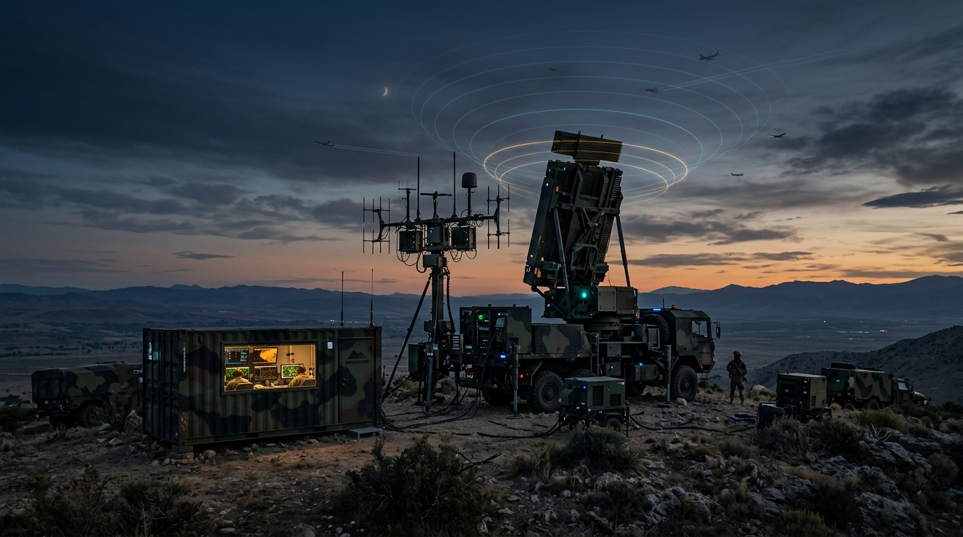
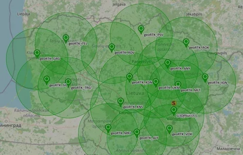
Deployed across Lithuania, our managed 24/7 satellite sensor network performs real-time radio interference monitoring and delivers precise GNSS time synchronization essential for critical defense radars, precision targeting, telecommunications, and tactical data streams.
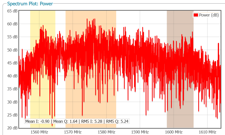
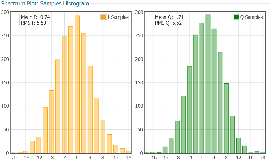
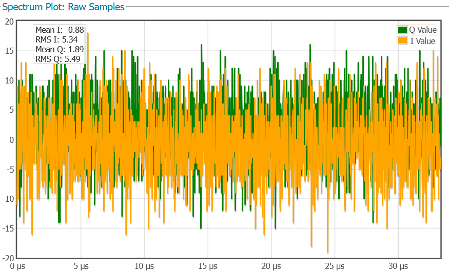
- Real-time radio frequency (RF) spectrum monitoring and analysis, enabling visualization of the electromagnetic environment across designated frequency bands. Jamming detection – if intentional or unintentional RF interference occurs, the spectral plot displays unnaturally high spikes or an elevated noise floor. Spoofing identification – detects signal anomalies when hostile emitters broadcast counterfeit GNSS signals to deceive positioning receivers. Telemetry from this sensor network enables instantaneous identification of electronic attacks, allowing seamless integration into short-range air defense (SHORAD) or public alert and civil warning environments.
- Our managed nationwide GNSS sensor network across Lithuania can be adapted and integrated with optical networks, data centers, and a central primary reference time standard, creating an independent, highly resilient time synchronization and frequency dissemination system for critical infrastructure. The system detects and rejects counterfeit time signals (Time Spoofing) and radio interference in real time, capable of delivering sub-5-nanosecond timing precision. This ensures uninterrupted operation of radars, sensor arrays, 5G networks, smart power grids, and data centers even under aggressive electronic warfare (EW) conditions.

AGNSS & RTK Streams
Built upon components manufactured in NATO and allied nations, our managed, continuously operating (24/7) satellite navigation sensor network features interference and spoofing rejection technology alongside OSNMA cryptographic authentication. By accepting only authenticated and reliable satellite signals and generating secure AGNSS and RTK data streams, it delivers dependable positioning to devices running TAK (Tactical Assault Kit) or other tactical situational awareness platforms, including UAVs and UAS for reliable positioning across airspace and terrain, as well as military cartography requirements.
- Uninterrupted 24/7 sensor network availability
- Sensor network deployed nationwide across Lithuania
- Proprietary AGNSS engine with instantaneous ephemeris loading
- Centimeter-level RTK corrections for dynamic and static platforms
Kovas-T GNSS
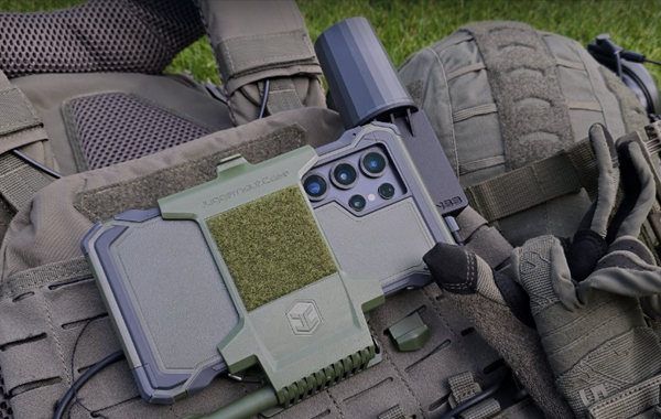
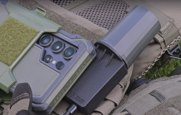
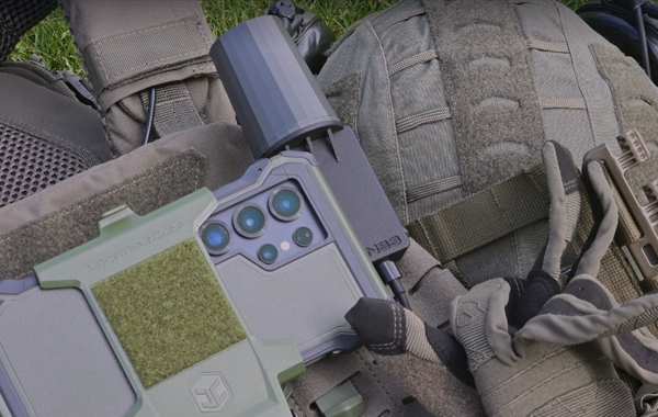
Developed by our team and manufactured from components produced across NATO and allied nations, this tactical-grade mobile device is powered by interference- and spoofing-resistant technology, Galileo OSNMA cryptographic signal authentication, and multi-band antennas, delivering multi-tier precision positioning data to devices running TAK (Tactical Assault Kit) or other tactical situational awareness platforms, specifically engineered for dependable operation across dense forested or urbanized terrains and aggressive electronic warfare environments.
- Compact and lightweight design for mounting onto tactical vests, UAV control ground stations, or vehicle rooftops
- Multi-constellation, full-spectrum, interference- and spoofing-resistant, OSNMA, and HAS GNSS module delivering meter-to-centimeter positioning accuracy levels and methods – SPS, DGPS, HAS, RTK
- Multi-band Helical antenna for stable satellite signal reception at any orientation angle
- Full compatibility with Android OS devices, TAK (Tactical Assault Kit), and other tactical situational awareness software. Complete parameter configuration and control managed via our proprietary GNSS-Link application

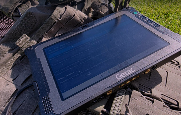
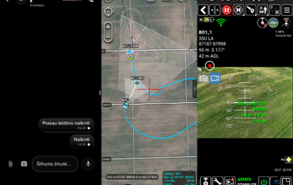
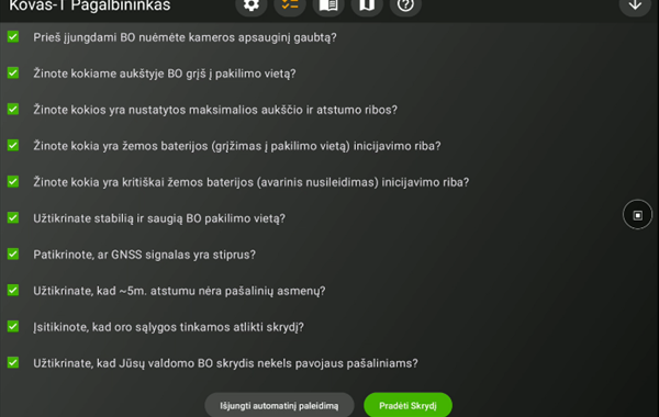
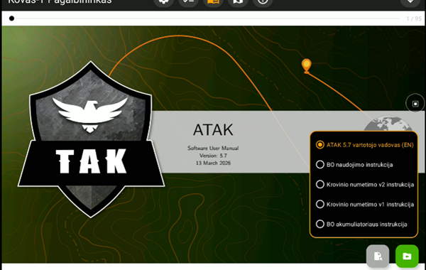
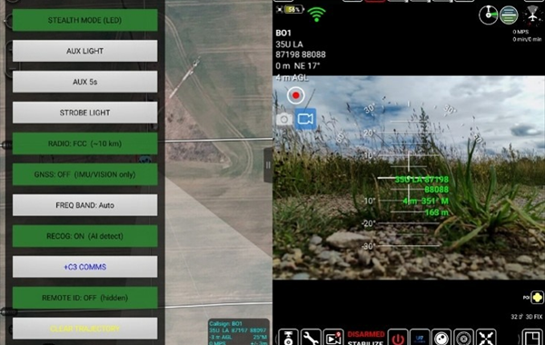
Kovas-T Ecosystem
Our proprietary, specialized ecosystem integrating UAV-Shield, GNSS-Link, UAV-Link, +C3, and Kovas-T Helper complementary software packages for unmanned aerial vehicle control and precision positioning within TAK (Tactical Assault Kit) and other tactical situational awareness platforms.
- UAV-Shield – Software running on the UAV ground control station as a local network filter, intercepting DNS queries and connection attempts to prevent applications from reaching unauthorized servers. UAV-Shield seals operational area coordinates, device telemetry, and sensitive metadata directly within the drone controller, ensuring critical data cannot leak to third parties. The software does not transmit any data externally and requires zero internet connectivity. All traffic filtering occurs locally within the controller, requiring no external servers, accounts, or cloud dependencies. Operating under strict Fail-Closed logic, it blocks rather than permits in ambiguous conditions, while maintaining complete operational workflow without interfering with TAK (Tactical Assault Kit), UAV-Link, GNSS-Link, +C3, or video streaming.
- GNSS Link – Positioning source and stream management software for UAV remote controllers and mobile devices. It determines the source of device positioning data and feeds it to TAK (Tactical Assault Kit) and other tactical situational awareness platforms. Three operating modes are supported: GNSS Secure – positioning calculated by G3Dtech's proprietary AGNSS engine from an ECDSA cryptographically signed source, utilizing GPS and Galileo only; GNSS Standard – internal device receiver across all constellations without restrictions; GNSS External – connected Kovas-T GNSS receiver utilizing SPS, DGPS, NTRIP, or HAS corrections from a secure and controlled source.
- UAV-Link – Designed to operate natively within the TAK (Tactical Assault Kit) platform, unlocking the specialized „UAVLink Tactical“ feature suite enabling rapid access and direct control of customized functions within the TAK (Tactical Assault Kit) interface: Stealth Mode On/Off, AUX Light On/Off, AUX Light for a preset timed duration synchronized with our manufactured payload release mechanism v3 – automatically powers off after 5 seconds, Top LED Beacon On/Off, RF Transmission Power Adjustment, Satellite Navigation On/Off, Operating Frequency Band Selection (Auto or custom band), Target Identification (dedicated model in development), +C3 COMMS encrypted secure communications, Remote ID On/Off, Clearing real-time flight path rendering on the TAK (Tactical Assault Kit) map, alongside essential live telemetry readouts.
- +C3 – High-security communication and collaboration platform, tailored for extreme privacy requirements on mobile devices. Total content confidentiality is guaranteed by post-quantum encryption and multi-layered cryptographic security architecture. Operating under a Zero Trust model, confidentiality is maintained even on compromised networks or servers. For session initiation, +C3 utilizes the post-quantum PQXDH protocol (identity, signed pre-keys, and one-time keys combined with Kyber/ML-KEM-1024 KEM key), enabling secure asynchronous handshakes and ensuring forward and post-quantum secrecy. Voice and video calls operate over a dedicated DTLS-SRTP encrypted channel.
- Kovas-T Helper – Application covering pre-flight preparation procedures for UAV pilots. The pre-flight checklist acts as a pilot verification and safety barrier to ensure the security of both the unmanned aircraft and surrounding personnel. An integrated tactical map enables calculations of target coordinates, distances, and azimuths, as well as offline inspection of primary no-fly zones in Lithuania. The user manual section provides complete operational documentation accessible fully offline without internet connectivity.
Critical Hardware & Peripherals
We supply industrial and military-grade satellite navigation components manufactured in NATO and allied nations – GNSS modules, Helical, Dipole, and CRPA antennas, and specialized rugged military field computers for Windows and Android OS environments.
- Basic, Advanced, Premium, and Ultimate (interference- and spoofing-resistant) GNSS modules equipped with OSNMA and HAS technologies for robotic systems, unmanned UAV, UAS, USV platforms, and mission-critical high-reliability navigation needs.
- Industrial-grade multi-band Helical GNSS antennas stand out in the market as ultralight, high-precision devices engineered for systems where weight and form factor are critical, tailored for UAVs, autonomous robots, and handheld devices. Military-grade compact CRPA antennas – an anti-jamming and anti-spoofing 2, 4, 8, and 16 GNSS antenna array architecture capable of dynamically adjusting its reception pattern in real time.
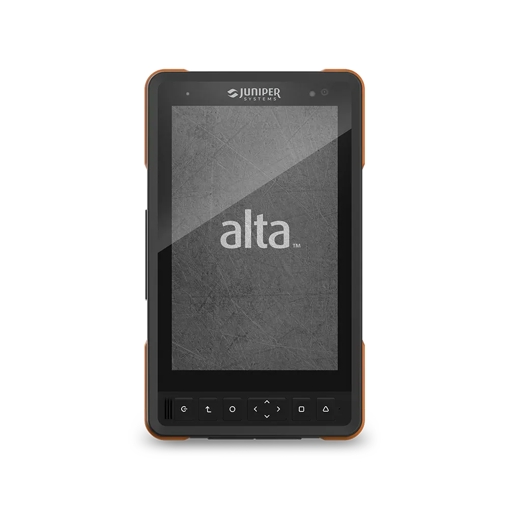
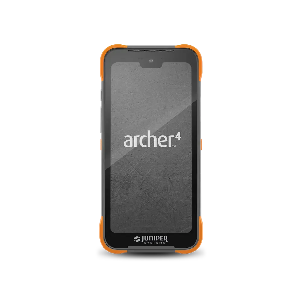
- We supply rugged field computers trusted worldwide by armed forces, defense agencies, and demanding professional sectors from industry-leading manufacturers – Windows OS: Getac B360, Panasonic TOUGHBOOK G2, Juniper Systems Mesa 4 and Mesa Pro (customizable to specific operational requirements). Android OS: Getac ZX8, ZX10, Juniper Systems Archer 4 and ALTA (customizable to specific operational requirements).
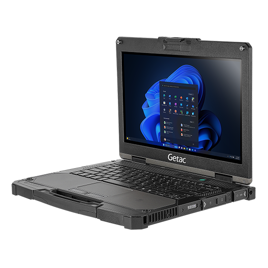
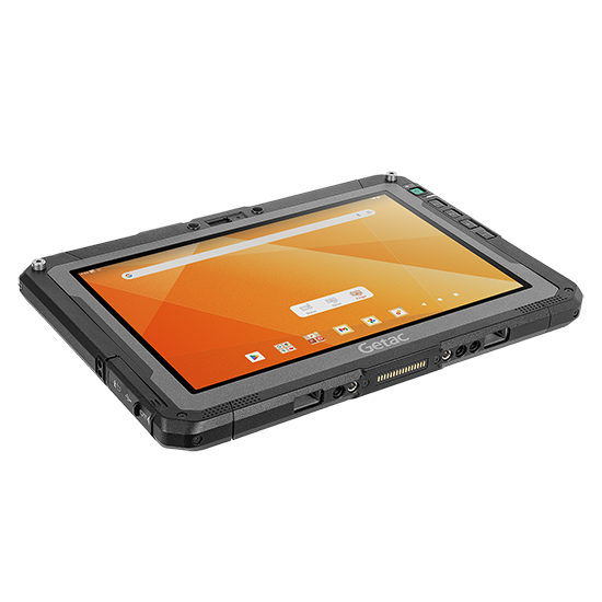
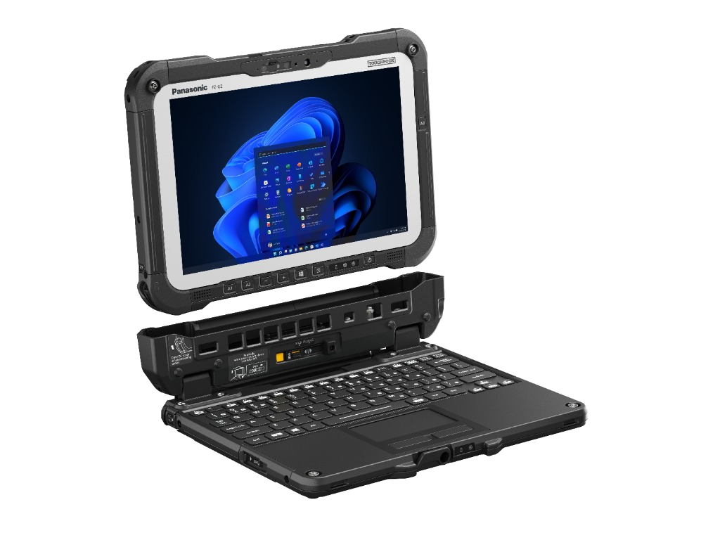
// 06. Inquiries & Contact
Contact us for product demonstrations, technical specifications, or trial deployments
Our Contacts
G3Dtech - specialized technology supply, R&D, engineering, manufacturing, and software solutions.
-
Entity: G3Dtech
-
Location: Vilnius, Lithuania
-
Email: info@g3dtech.lt
-
+C3 Website: pliusc3.net